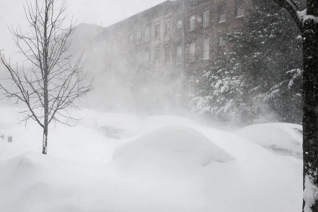
Environment Canada has issued a snow squall watch for Kings County, P.E.I., the North Shore of mainland Nova Scotia, Guysborough County, Nova Scotia, and Inverness County, Cape Breton. Residents in these areas are advised to stay vigilant as snow squalls may develop Monday night into Tuesday morning, potentially bringing heavier snowfall ranging from 10 to 20 cm.
The meteorological trigger for these snow squalls is a cold northwest wind sweeping across the Maritimes. This frigid air, interacting with the relatively warmer waters of the Gulf of St. Lawrence and Northumberland Strait, induces the lifting of moisture off the water. This moisture then moves into the colder air, manifesting as flurries and snow squalls when it reaches the shore. The intensity of these squalls depends on the temperature differential between the water and air, as well as the distance the cold wind travels over the water before hitting the shore.
It’s important to note that these bands of snow can become quite intense, leading to snow accumulation and poor visibility. Furthermore, the narrow nature of these squalls means that conditions can vary widely within a small geographic area.
While the snow squall risk is localized, residents across the entire region can expect a noticeable drop in temperatures on Monday night and Tuesday morning. Low temperatures are forecasted to fall several degrees below freezing for much of the region, accompanied by blustery winds.


